


Wholesale Michigan State Hand-Drawn Map
WSP
Sign up for Faire to unlock wholesale pricing
MSRP $30.00
Already have a retailer account? Sign in
SKU MAP_MI
With Faire, shop unique wholesale products for your store from brands like XPLORER MAPS and more.
About this product
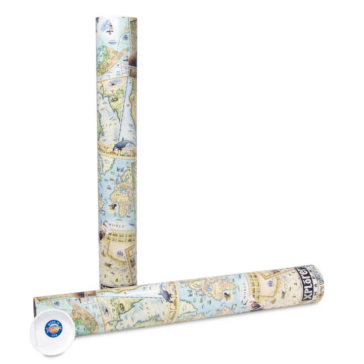
Hand-Drawn, 18" x 24" full-color map, lithographic print in durable, full-color Illustrated tube. With 100 state parks and public beaches, some of the highest freshwater sand dunes in the world, two national lakeshores, 129 lighthouses, 10 shipwreck museums & diving preserves, and the only national marine sanctuary in the Great Lakes (the Thunder Bay National Marine Sanctuary in Lake Huron) Michigan is an absolute must visit!
Product details
• Made in United States • Weight: 453.59 g (1 lb) • Dimensions: 45.7 x 61 cm (18 x 24 in) • SKU: MAP_MI
©2025 Faire Wholesale, Inc.
English